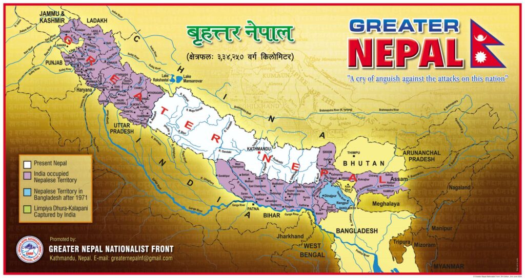
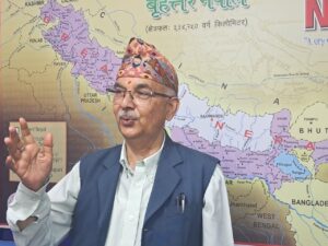
The Greater Nepal Nationalist Front released a new map of Greater Nepal on Sunday. At a press conference held in the capital, Front’s president, Phanindra Nepal, claimed that the territory from the Brahmaputra in the east to the Ravi River in the west Nepal’s rightful land.
“We take pride in the history of Greater Nepal because our brave ancestors left us a glorious history,” he said. “The land our ancestors acquired is ours.” President Nepal emphasized that this pride is especially connected to the bravery of our ancestors, who shed their sacred blood in the defense and protection of the country’s soil. He reminded me that the Greater Nepal Nationalist Front has been striving to keep the legacy of Greater Nepal alive through its map for the past one and a half decades.

President Nepal stated that the issue of land ownership can be raised even after hundreds or thousands of years. Sunday’s press release noted that it has been 75 years since the United Kingdom, who signed the Sugauli Treaty with Nepal, left the Indian Subcontinent 129 years after the treaty. The statement also mentioned that it has been the same number of years since India re-established colonial rule on the land that Britain had colonized. However, Article 8 of the Nepal-India Peace and Friendship Treaty of July 31, 1950, nullified the Sugauli Treaty and restored Nepal’s borders to their pre-Sugauli state, which is as clear as daylight. Based on this, the Greater Nepal Nationalist Front has released a new map.
The fifth version of the Greater Nepal map is based on historical facts and records. Indian historians have noted in Samudragupta’s Allahabad Prashasti that Nepal’s eastern border extended to Kamarupa, located by the Brahmaputra River flowing through Assam. It is found that the western border of Greater Nepal is the Ravi River, as mentioned in an agreement between David Ochterlony and Bada Kaji Amar Singh Thapa on May 15, 1815. Further research is needed to determine the southern boundary. According to the new map, Greater Nepal has clarified that it has an additional area of 334,250 square kilometers, which is currently under the Indian regime.
At the new map release ceremony, personalities including Hiralal Tandukar, chairperson of Ward No. 11 of Kathmandu Metropolitan City expressed their views.
(PN)