Photo: CNSA

Photo: CNSA
China on Friday unveiled the first batch of images from the Tianwen-1 spacecraft’s landing on Mars. The images were taken by its Zhurong Mars rover, including a panoramic view of the landing site and terrain of Mars. The release of these images marked a complete success for China’s first Mars exploration mission.
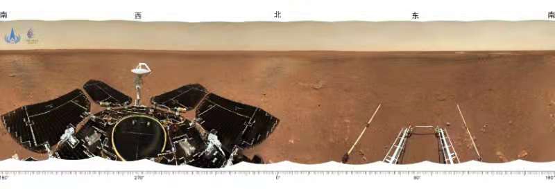
The images were unveiled at a ceremony held by China’s National Space Administration in Beijing. The panoramic view of the landing site is a 360° circular picture taken by the navigation terrain camera on the mast of the rover before it left the landing platform. The image shows that the land near the landing site is flat, and the horizon of Mars can be seen in the distance.

Photo: CNSA
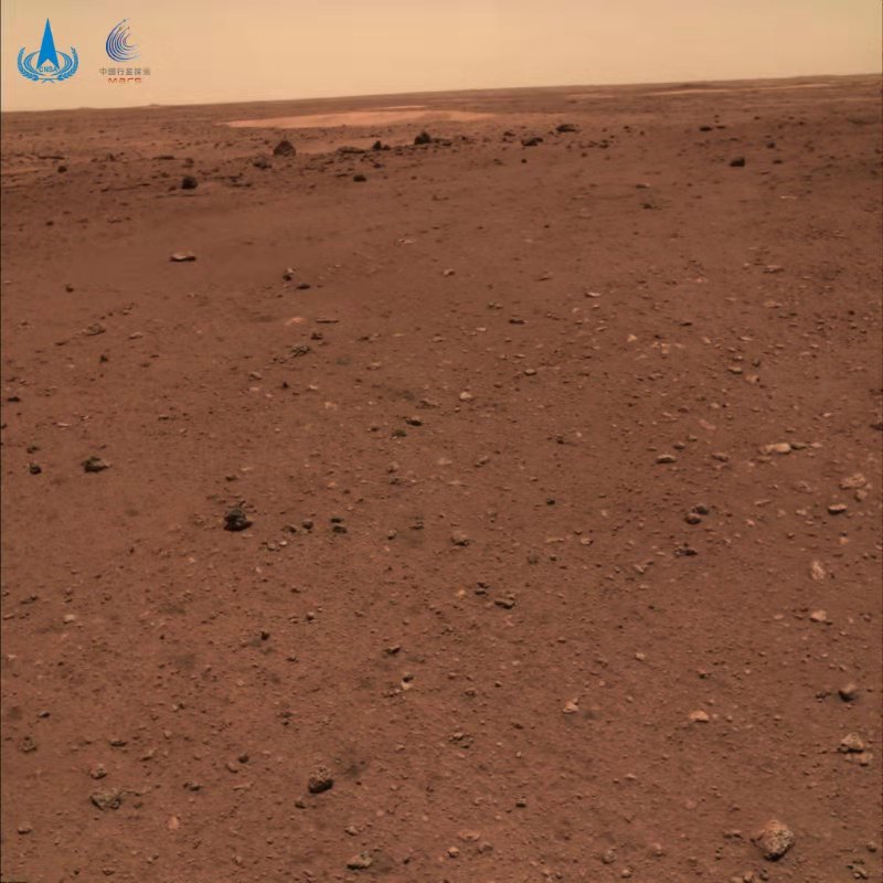
The topographical map of Mars is the first topographical image taken by the navigational terrain camera after the Zhurong rover reached the surface of Mars. The image shows that the near surface is relatively flat, with stones of different sizes distributed.
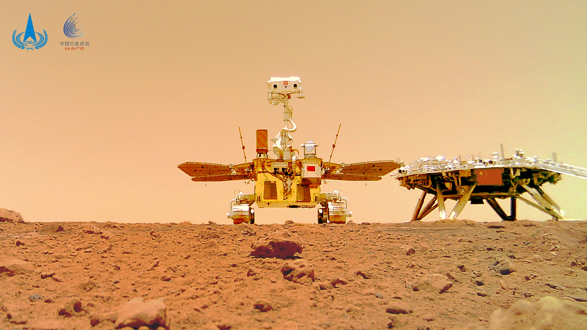
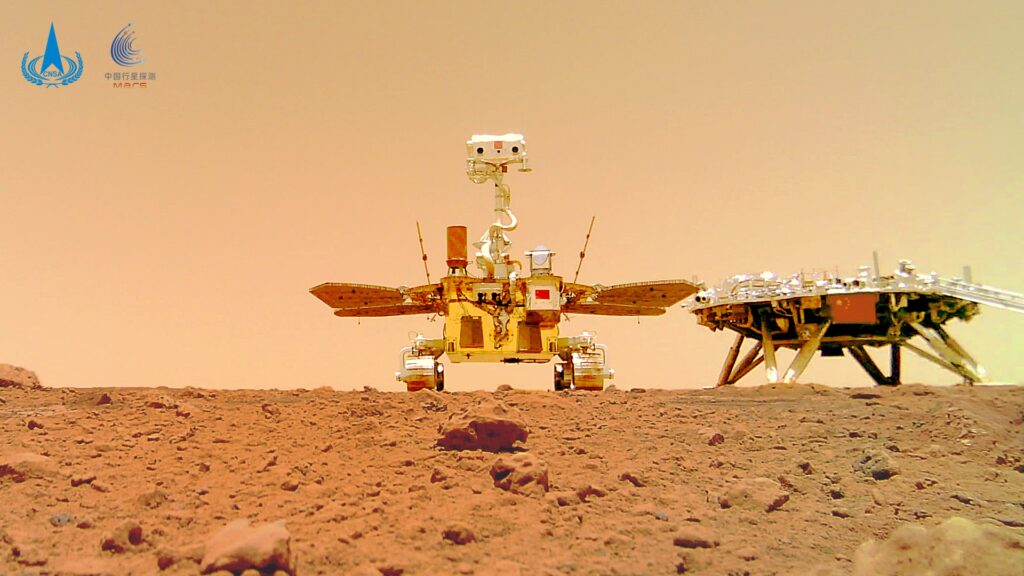
The rover traveled about 6 meters to the southeast of the landing platform and took an image of the landing platform. The image shows the Chinese national flag gleaming on the landing platform.

Photo: CNSA
Named after an ancient fire god in Chinese mythology, the 1.85-meter-tall and some 240-kilogram Zhurong Mars rover safely drove off the landing platform and reached the surface of Mars at 10: 40 am on May 22, kicking off its roving mission.
China became the second country in the world to successfully deploy a robotic rover onto the surface of Mars, breaking up the US’ monopoly in the field, Chinese space analysts hailed.
Photo: CNSA


